On our recent trip to the Baviaanskloof – another World Heritage Site ticked – we made a slight detour to visit the Kouga Dam. The dam is situated about 21 kilometres outside the village of Patensie on the R330 in the beautiful citrus growing area of the Gamtoos Valley in the Eastern Cape. Although the end of the citrus season was near the air was still heavy with the smell of oranges as we took the gravel road of about 7 kilometres to the dam wall.
Some of you will know the dam by its former name of Paul Sauer who was a prominent politician on the South African scene. However, after 1995 the name of the dam was changed to the Kouga Dam. The dam was built in 1957 for irrigation purposes in the valley and to supply drinking water to the greater Port Elizabeth area. Something that I did not know was that the Kouga Dam also serves as a flood-control dam (or as we say in Afrikaans a koffer dam) for floods originating from the catchment area of the Kouga river and to decrease the effects of these floods in the lower Gamtoos area.
![]()
Below the dam wall, albeit the present drought, there was a lush green picnic site. Being a Sunday and over a long weekend I sort of expected that it will be packed with visitors. It was empty. As we were departing a family with small kids arrived and unpacked the car to spend the day kicking ball and playing with the kids in the shade of the trees. It was apparent that they know this hidden spot very well.
![]()
We took the short steep drive to the top of the dam wall. Standing on the double curvature wall of 82 meters in height we had a view over the rest of the dam. The dam was only about 49 percent full and littered with branches of dead trees. It was disheartening to see how low the water levels of the dam was at the moment. On the other hand it must be an impressive sight when it is full and the dam basin stretches back 34 kilometres storing 128 million cubic meters – my brain cannot even calculate what so much water must look like!
![]()
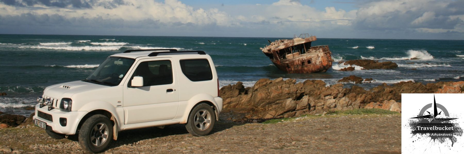
The little tunnel next to the dam wall created some good photo opportunities and like everyone else we stopped to snap some pictures.
Standing on the dam wall you realise the impact of the drought in the catchment areas of the dam and the enormous part water plays in our daily lives. Without water there is no life – I pray that rain will fall soon in the Baviaanskloof.
—oOo—
Need to know:
Money matters: No entrance fee payable
Where : GPS coordinate 33.7406°S 24.5877°E
Why: It is a good place to teach the young one about caring for our water resources
Facilities: Braai area under shade and ablution facilities
—oOo—
I have an interest in dams and water levels in general and it will be interesting to monitor the level of the dam. When you have visited the dam please drop the percentage displayed on the board near the causeway in the comments section below the post.
Good morning. Would like to know if weekend camping is allowed at the dam site. Also is the electricity and will the ablution site be open. November first weekend