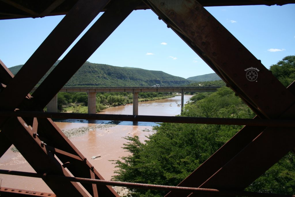
For most of us this bridge confirms that you are officially crossing over from the Eastern Cape into the former Transkei.
Running parallel with the new bridge over the N2 you will notice the old stone bridge to your left when driving eastwards. Find the road to the old bridge and have a look at it. I was quite impressed at the engineering skills considering the period in which it was built and the machinery available to create these types of structures.
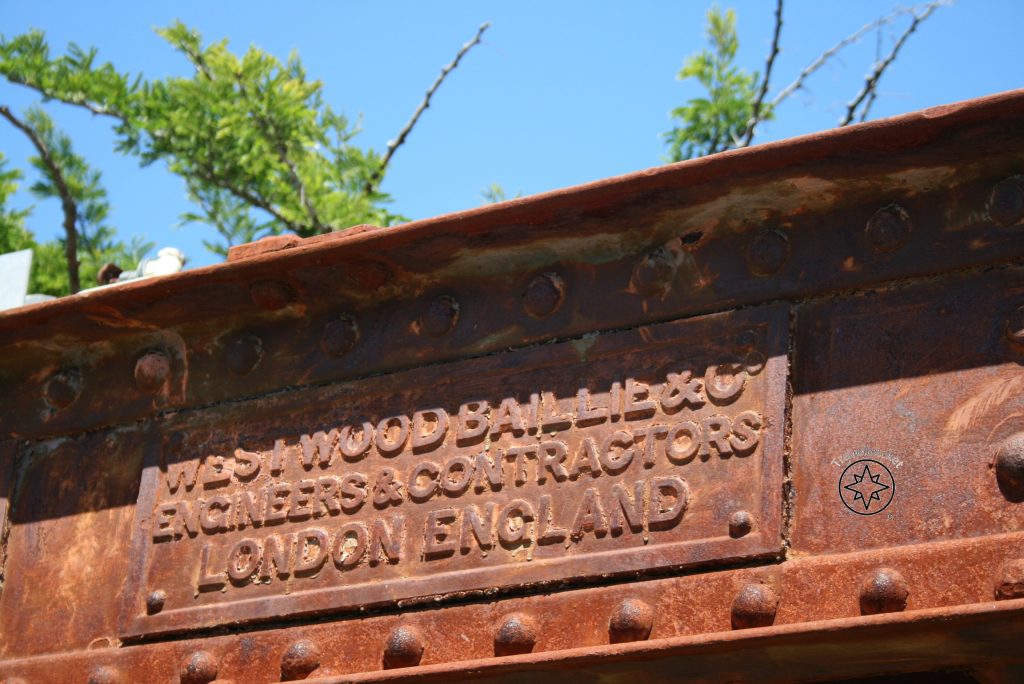
The steel bridge built by Westwood Bailie Engineering Works from London and completed in 1879 so nearing its 150th year soon. Although the bridge’s length will not make the Guinness Book of Records, as it is only 0.46 kilometres long, it is still used by local farmers and pedestrians in the vicinity.

Attempts to build a bridge over the Kei River started in 1877 when materials were shipped from London to East London and then carried by ox wagon to the site, but due to conflict with local people the building process was interrupted multiple times including the Frontier War. From 1907 to 1917 the railway line was carried on a wooden bridge, but it washed away during a flood and thus had to be relocated to near the present day N2.

Thing was made easier for travellers. Today there is a Shell Ultra City where you can buy your standard “garage pie” and coke and take a rest before commencing your trip on the treacherous Transkei roads. Take it slow and be on the lookout for pedestrian and stray animals.
Eventually the Kei River reaches the Indian Ocean as an estuary at Kei Mouth where you will still find a ferry transporting cars and pedestrians into rural Transkei, but more about the ferry crossing in another post.
Coordinates: 32°30’32.29″ S 27°58’48.60″ E
Altitude: 160 meters
oOo
