It was a rainy day, but still perfect for an outing to explore the R72 and some gravel back roads of the Eastern Cape and to visit places we have not been before.
We came across a brown sign at a turn-off that just says Karel Landman Monument. That is it. So this was the indication for us to put on your indicator and turn.
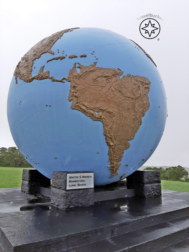
We were not quite expecting this type of structure for a monument! Well maybe I am old school but a monument in my mind is sort of a subdued grey stone structure and not a huge ocean blue structure!

Now who was this Karel Landman, because I mean to have a famous architect like Gerard Moerdijk design such a structure and plonk it down here in the green scenery near Alexandria you must be quite well-known? I was scratching my memory to find something familiar from my history lessons from school about Karel Landman, but nothing came to the fore.
Landman was one of the key figures in the 1838 Groot Trek.
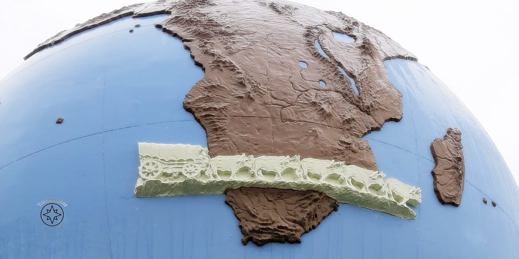
He was a farmer in the area but clashes with locals were on the increase and he decided to sell his farm and head to the interior. He led a travelling party of about 180 souls consisting of 39 families. They trekked around Lesotho and met up with another trekker Gerrit Maritz – now at least I can remember him from my history lessons! – where after they settled in Natal. On our visit I have learnt that Landman later on became the administrator of Port Natal (nowadays Durban).

Now as in many cases in the Afrikaner history there was disagreement. This time it was on where this monument should be located and the two Dutch Reformed Church councils who contributed to the fund raising agreed to place it on this koppie of the border of both councils which is why this globe sort of sit in the middle of nowhere.
Walking around this massive globe with a diameter of 5 meter it amazed me to see all the detail of very small, sometimes never heard of, little islands from the Pacific Ocean dotted on the map. Moerdijk, surely impressed me with his accuracy in geography.
On the day of our visit entry to the site was free of charge.
Coordinates:
33°34’42.89″ S 26°09’42.81″ E
